The images document various field locations, instrumentation sites, and alpine landscapes encountered during the SAMWISE Seismic Network installation campaign in the central Southern Alps / Kā Tiritiri o te Moana, November 2025.
For more information on the project, its scientific objectives, and network configuration, feel free to email me at konstantinos.michailos[at]anu.edu.au.
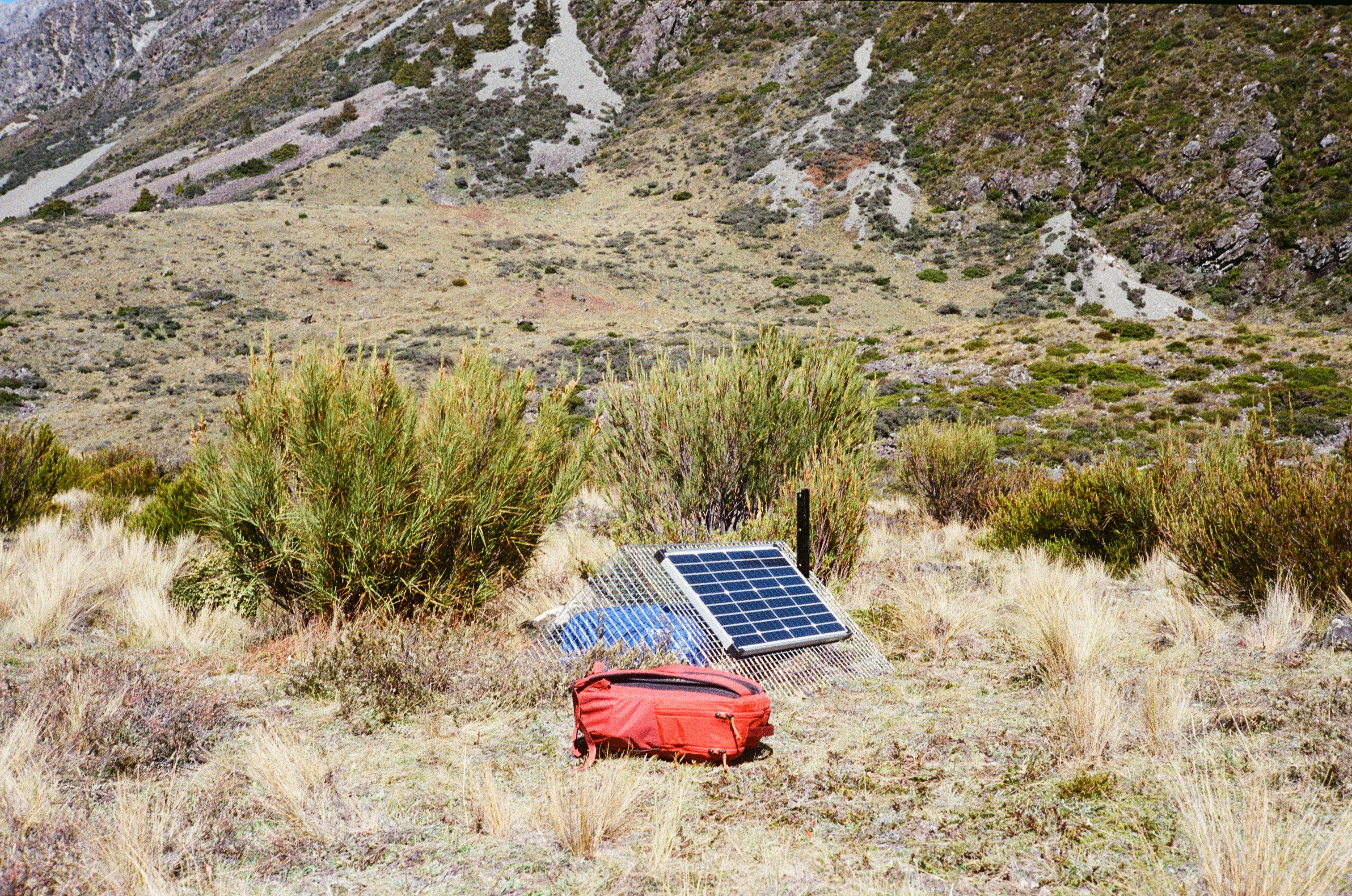
Seismometer installed near Jolie River, positioned to record local and regional seismic activity.
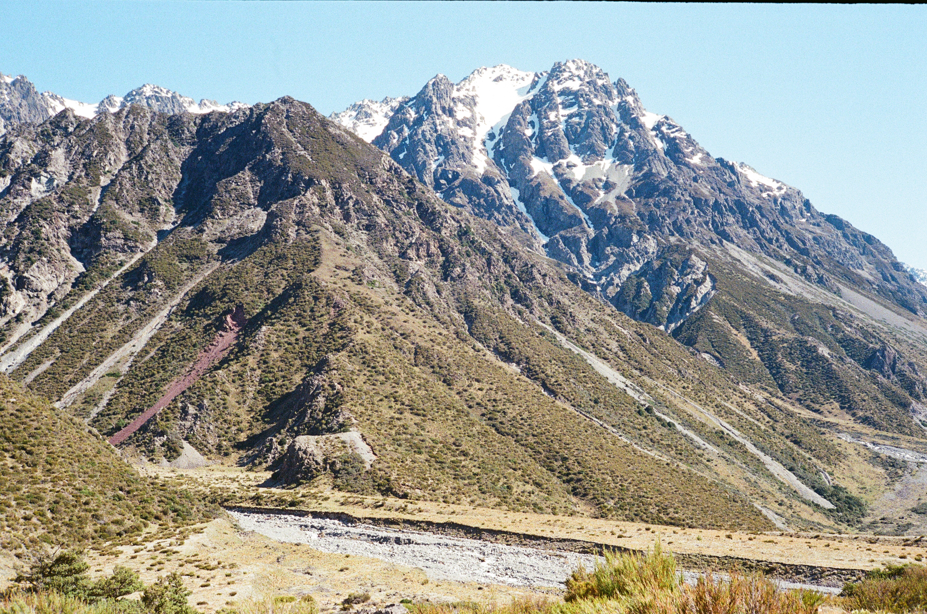
Mount Kea (1268 m) in the foreground and Mount Fagin (2139 m) in the background.
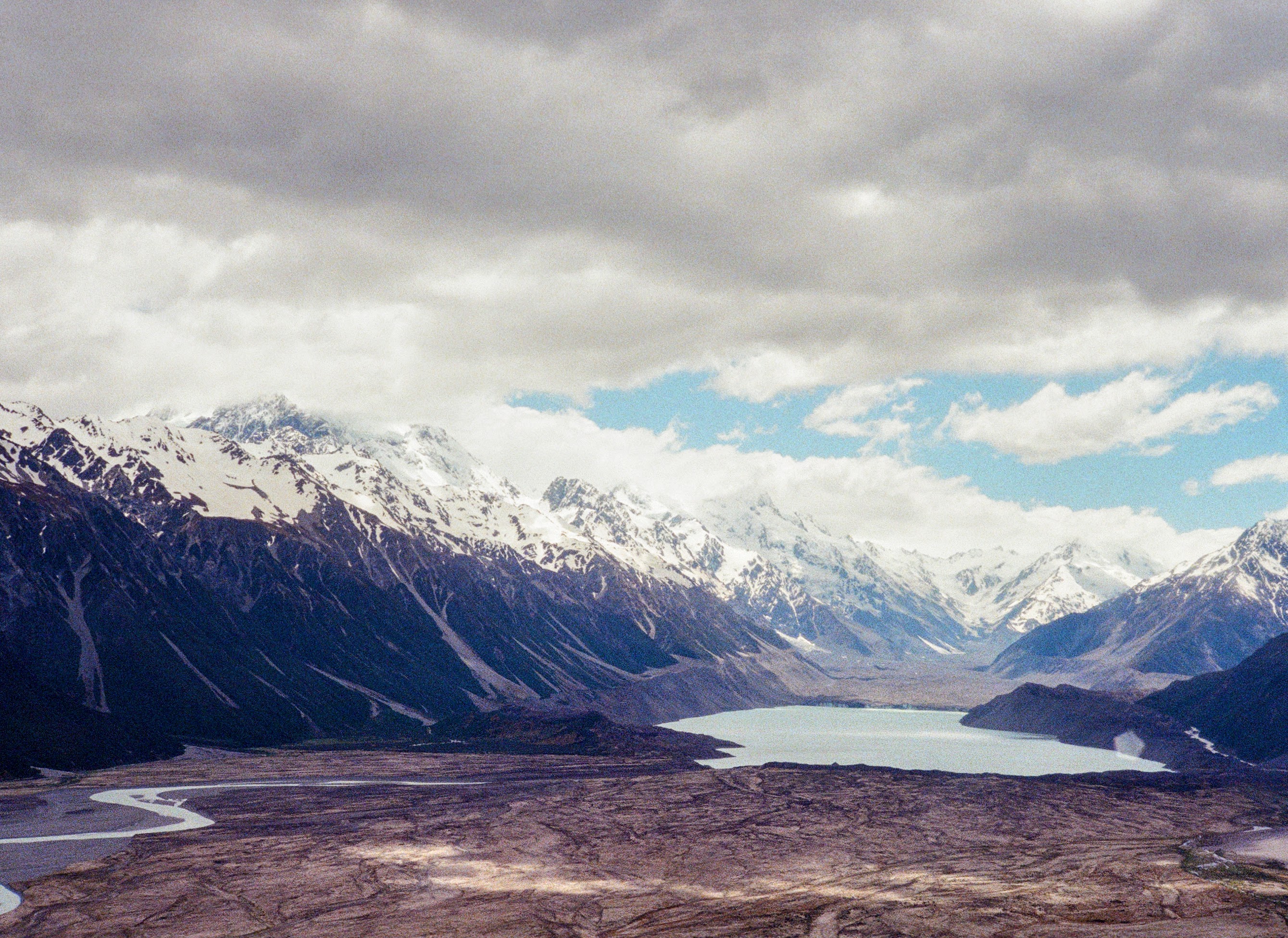
Aerial view of Haupapa / Tasman Glacier and glacial lake while approaching Mount Cook Airport.
Aerial view of Mount Cook Village in the background.
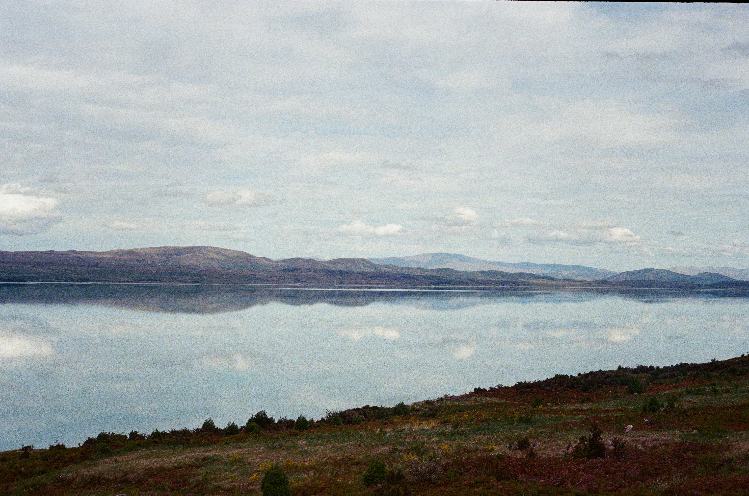
Lake Pukaki view with strong surface reflection of cloud cover.
Aoraki / Mount Cook the cloud piercer moments after sunset.
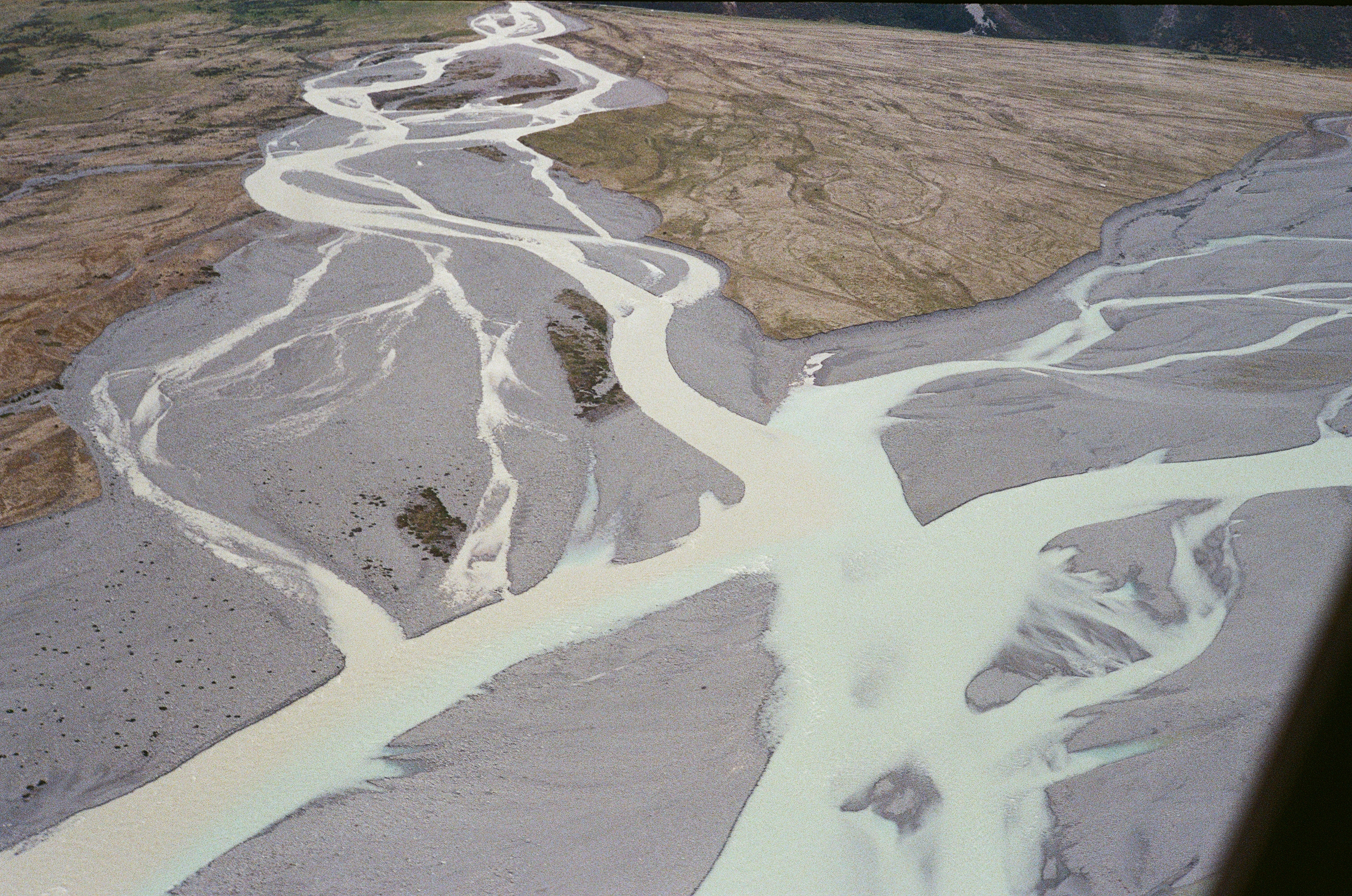
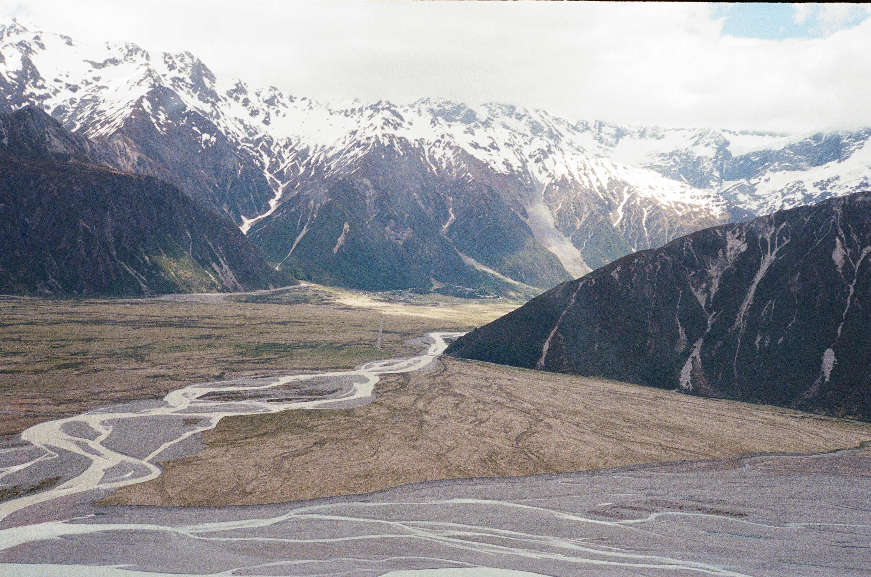
Confluence of the Tasman and Hooker Rivers, downstream of their respective glacial sources.
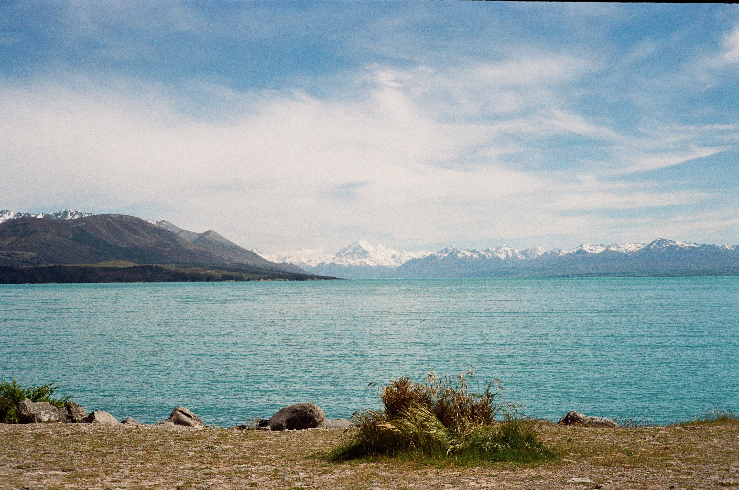
Aoraki / Mount Cook seen from the southern end of Lake Pukaki, under stable early-morning conditions.
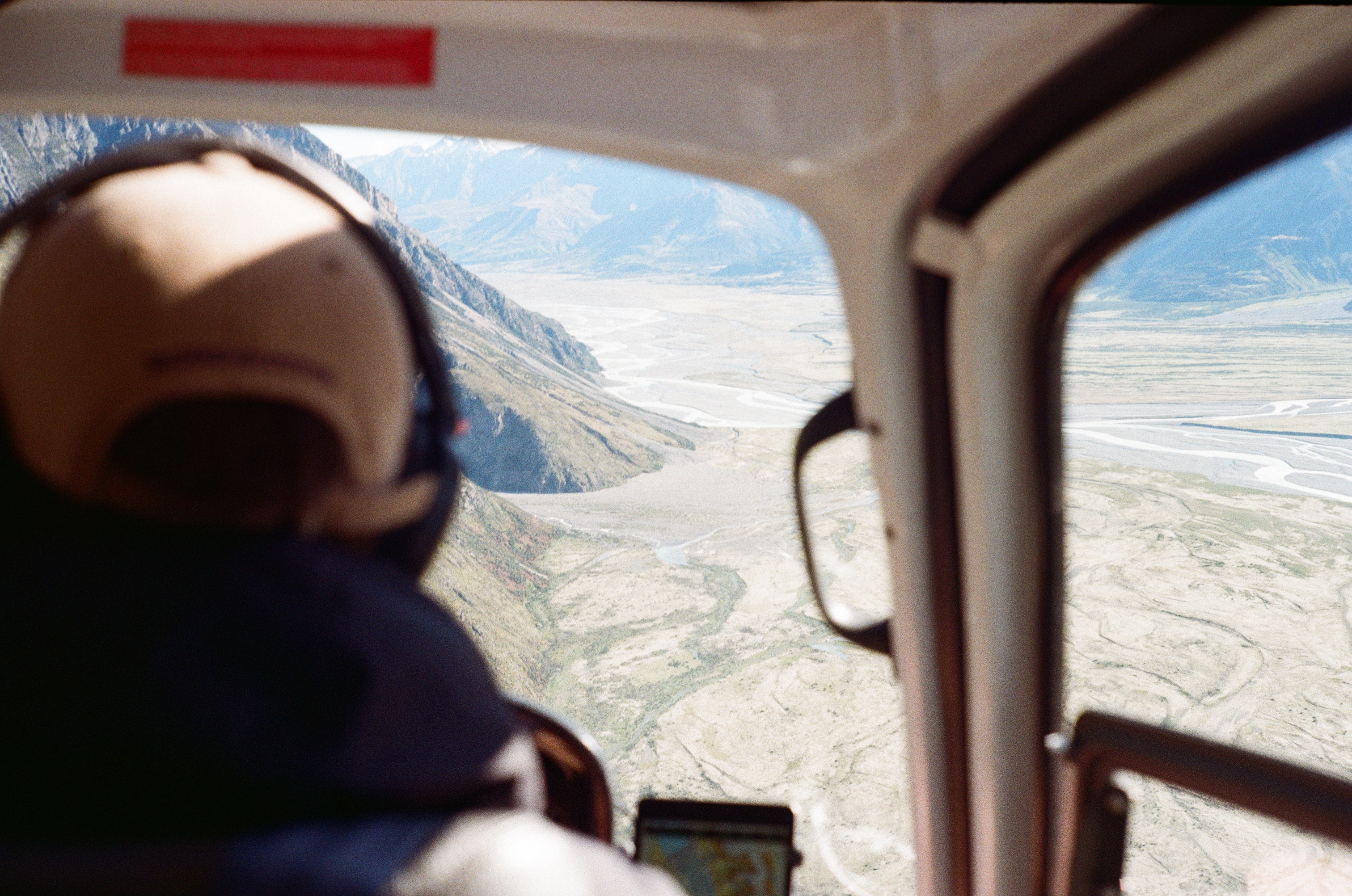
Return helicopter flight from Murchison Valley to Mount Cook Airport.

Seismometer installation near the Godley Valley, part of the easternmost side of the array.
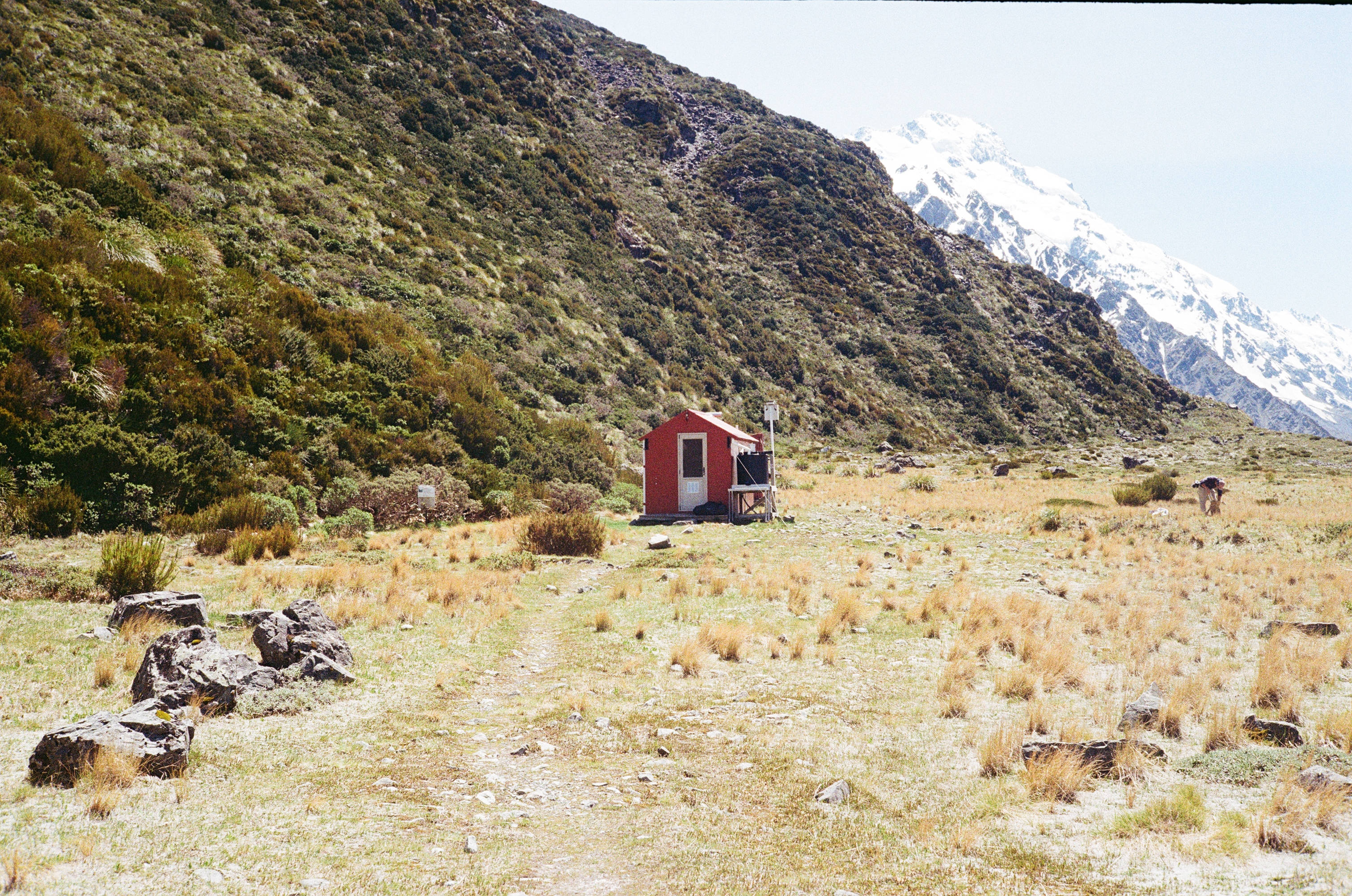
Ball Hut, located within Aoraki / Mount Cook National Park.
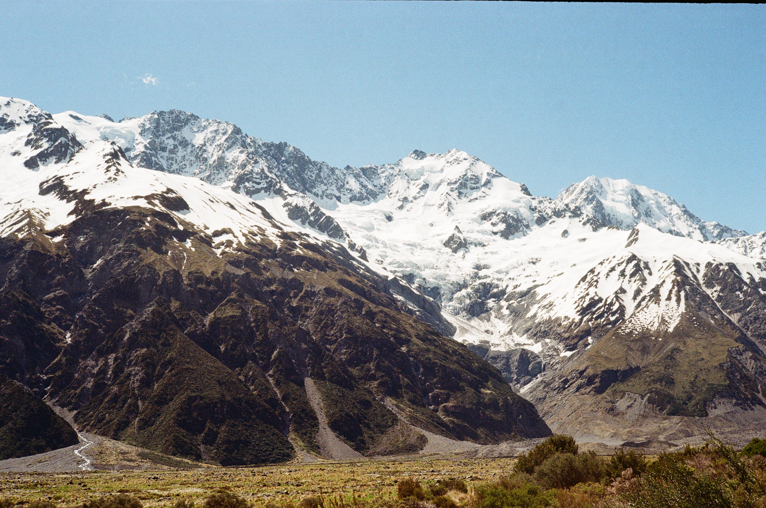
View of Onslow Glacier from Murchison Valley.
Photos were captured with a Canon Canonet QL19