
 Installation of 9 seismometers and 5 weather stations as part of the SAMWISE project took place
in November 2025.
Installation of 9 seismometers and 5 weather stations as part of the SAMWISE project took place
in November 2025.
SAMWISE project
The Southern Alps Monitoring of Weather-Influenced Seismicity and Erosion (SAMWISE) project is an effort to investigate the interactions between seismicity, surface processes, and hydrologic forcing in the central Kā Tiritiri o te Moana / Southern Alps.
SAMWISE focuses on the analysis of seismic and environmental signals associated with a wide range of natural hazards, including earthquakes, landslides, snow avalanches, rockfalls, glacier-related signals, and intense rainfall events.
Interested students are welcome to get in touch for potential opportunities to work on the project.
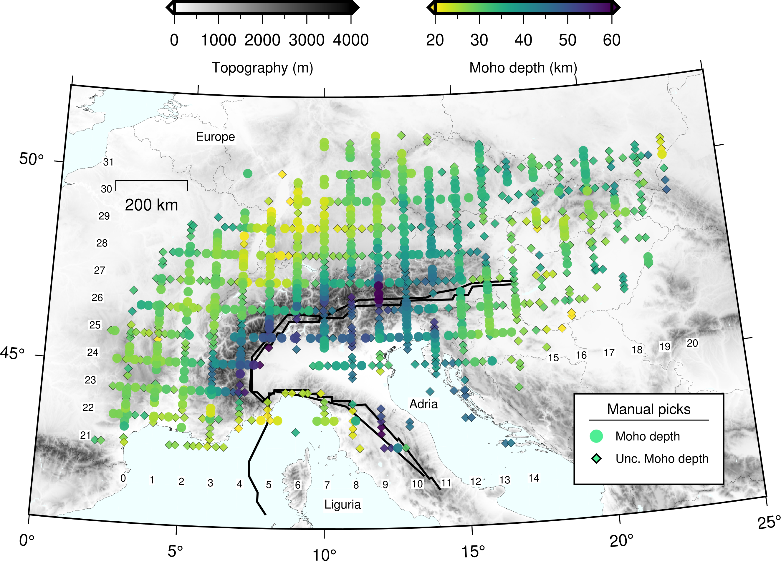 Moho depth map of the European Alps region.
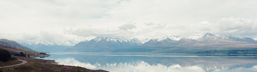
 "Tasman Glacier, NZ"
 "Jolie Valley, NZ"
 "Murchison Valley, NZ"
 "South Australia, AU"
 "Eyre Peninsula, South Australia, AU"
 "Nodal deployment in Jura, CH"
 "Seismic node deployment, Roccastrada, Tuscany, IT"
 "Gravity data survey, Ivrea Geophysical body, Alps,
IT"
"Gravity data survey, Ivrea Geophysical body, Alps,
IT" "Godley Valley, Southern Alps, NZ"
 "Seismometer at De la Beche, Southern Alps,
NZ"
"Seismometer at De la Beche, Southern Alps,
NZ" "Kea spotted at Dusky Sound, NZ"
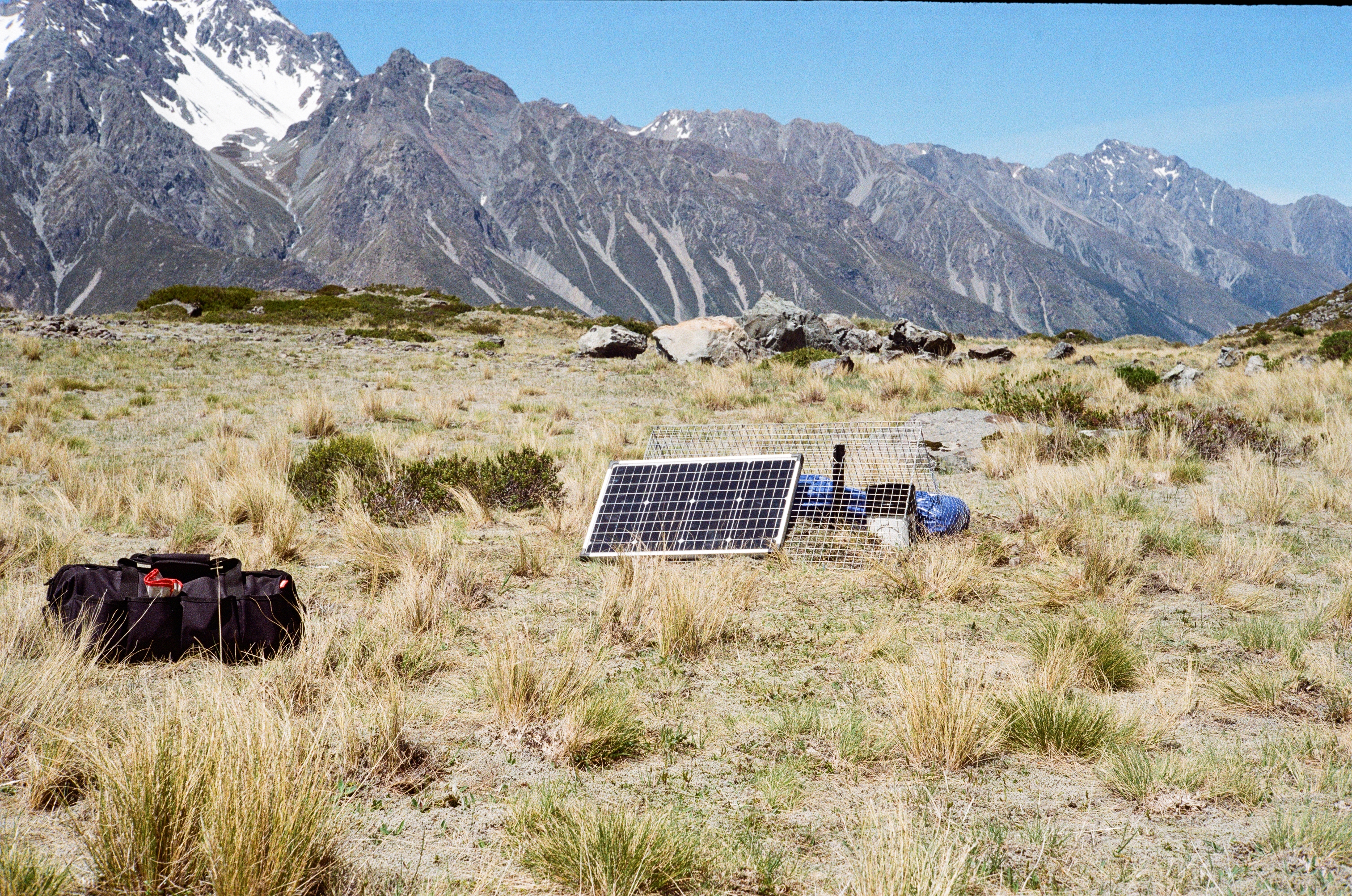
 "Digging out a seismometer in the Southern Alps, NZ"
 "Sea lions on Snares Island, NZ"
 "Ocean Bottom Seismometers aboard RV Tangaroa"
 "Yellow-eyed penguins sighted on Snares Island, NZ"