We have succesfully concluded the first data collection fieldwork for SAMWISE seismic network in the central Southern Alps / Kā Tiritiri o te Moana.
After six days in the field from 30 April to 5 May 2026, Prof. Meghan Miller and Dr. Konstantinos Michailos successfully completed the first data collection visit to the SAMWISE network in the Southern Alps / Kā Tiritiri o te Moana of New Zealand Aotearoa.
With the nine seismic stations operating in the field since November 2025, the team revisited each site to retrieve recorded data and carry out instrument checks, relying on helicopter access to reach many of the more remote locations just east of Aoraki / Mt Cook. Additionally, five of these stations were equipped with rain gauges and temperature sensors. All seismometers were operational on arrival apart from one site that turned off without coming back on around a month before the fieldtrip.
The retrieved data will now be processed and analysed to begin investigating the interactions between small earthquakes and hydrological processes that drive erosion and landscape evolution across the range.
For more information on the project, its scientific objectives, and network configuration, feel free to email me at konstantinos.michailos[at]anu.edu.au.
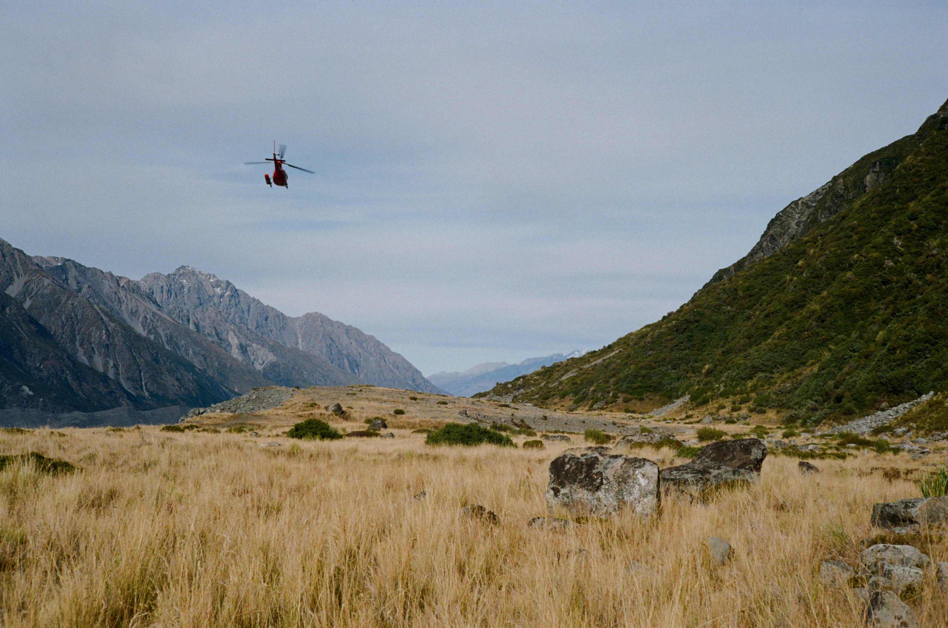
Getting dropped by a helicopter near Ball Hut to service the seismometer.
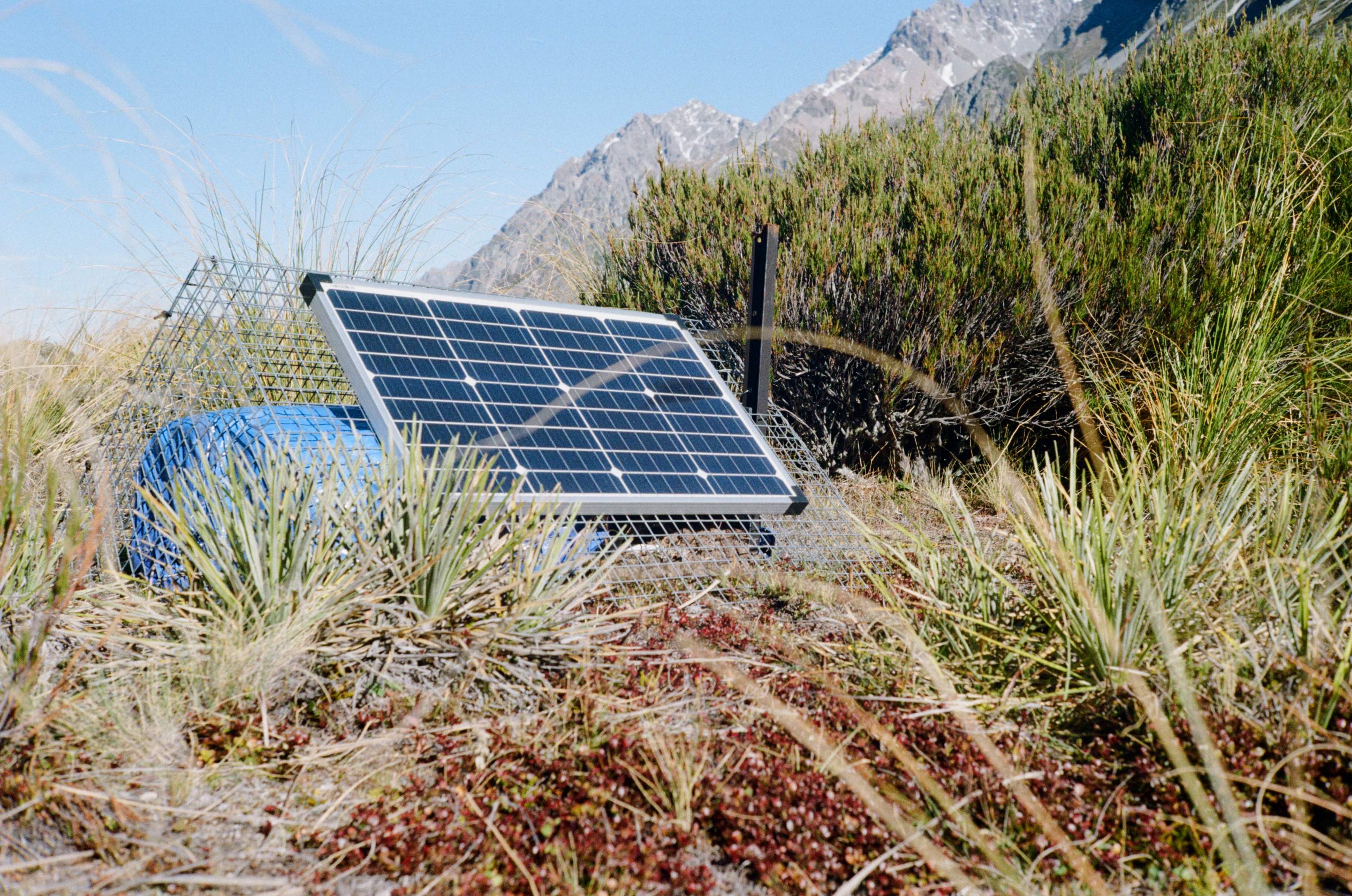
Seismometer hidden within vegetation in Jolie Valley.
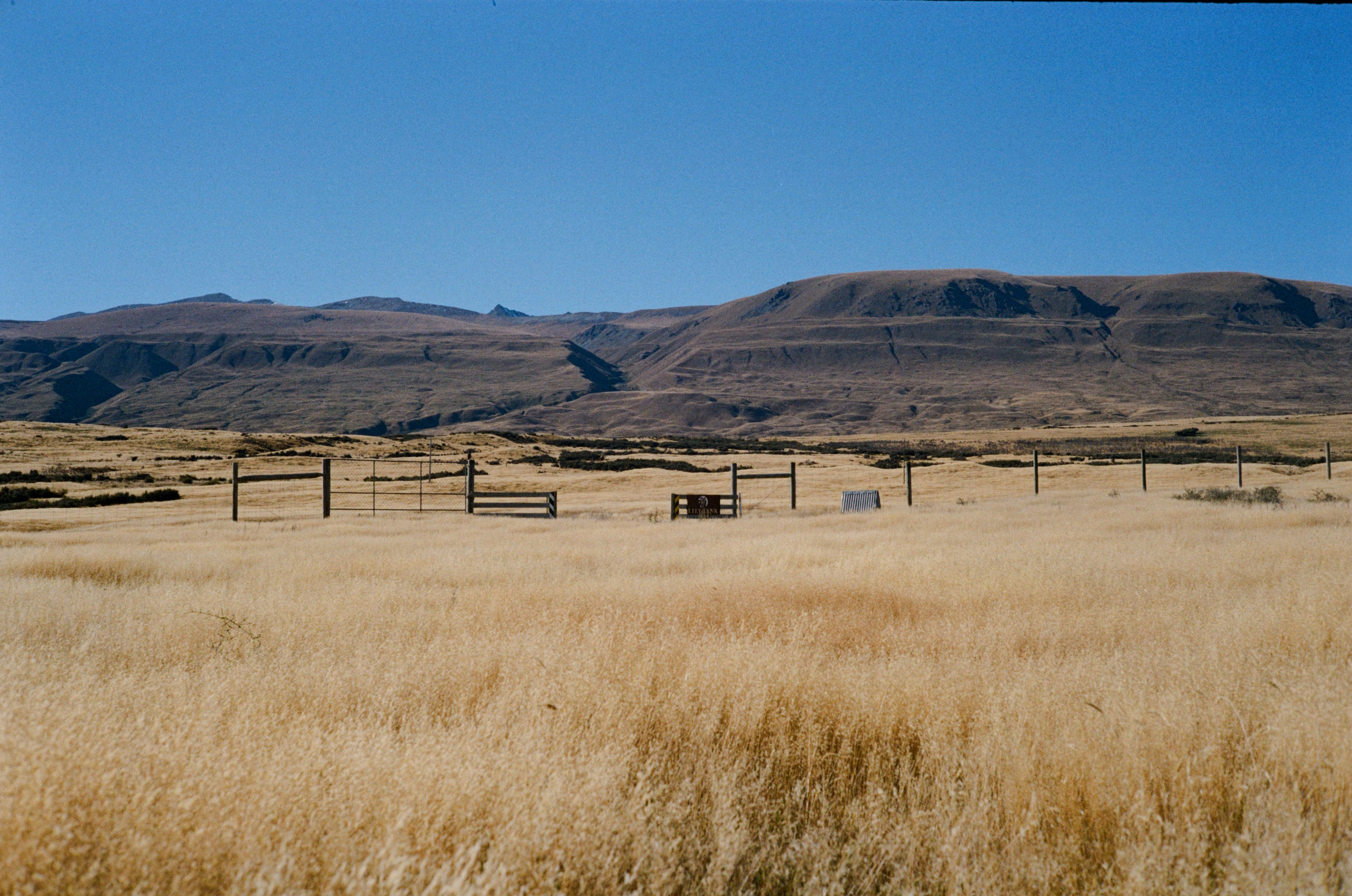
View from Mt Gerald Station near Maccaulay river.
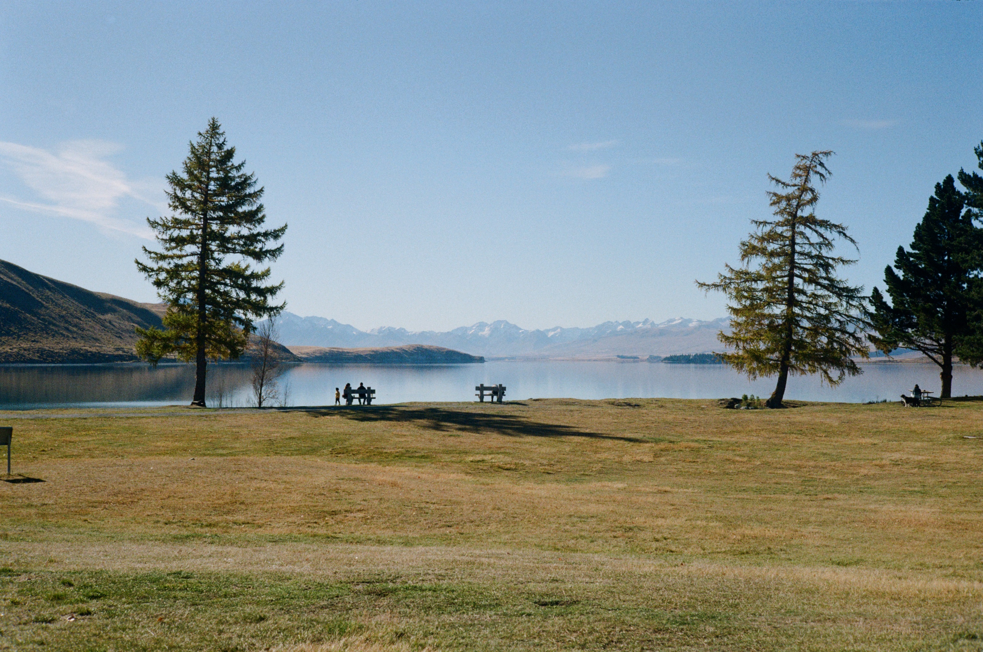
Lake Tekapo.
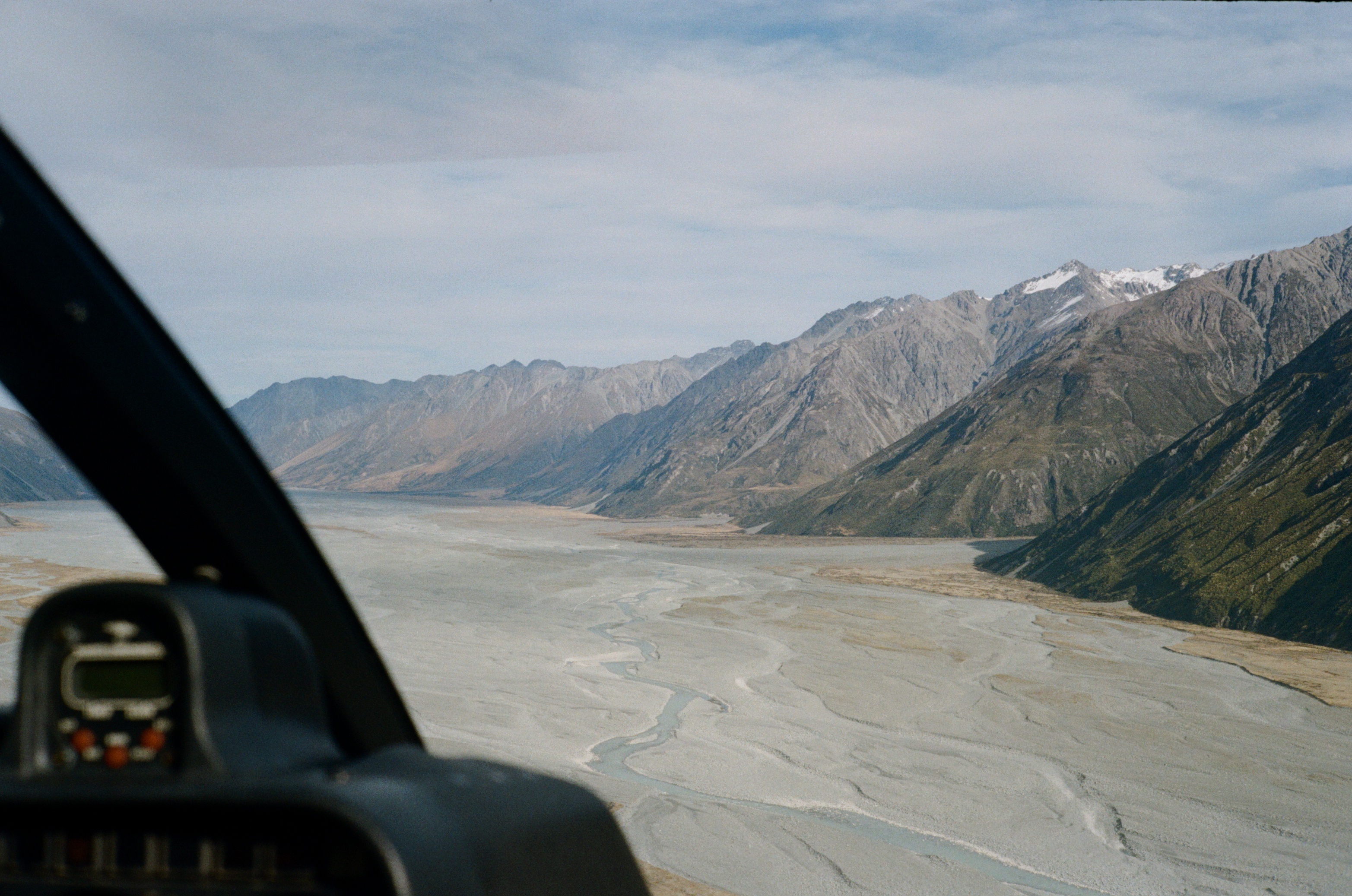
Flying over Godley Valley.
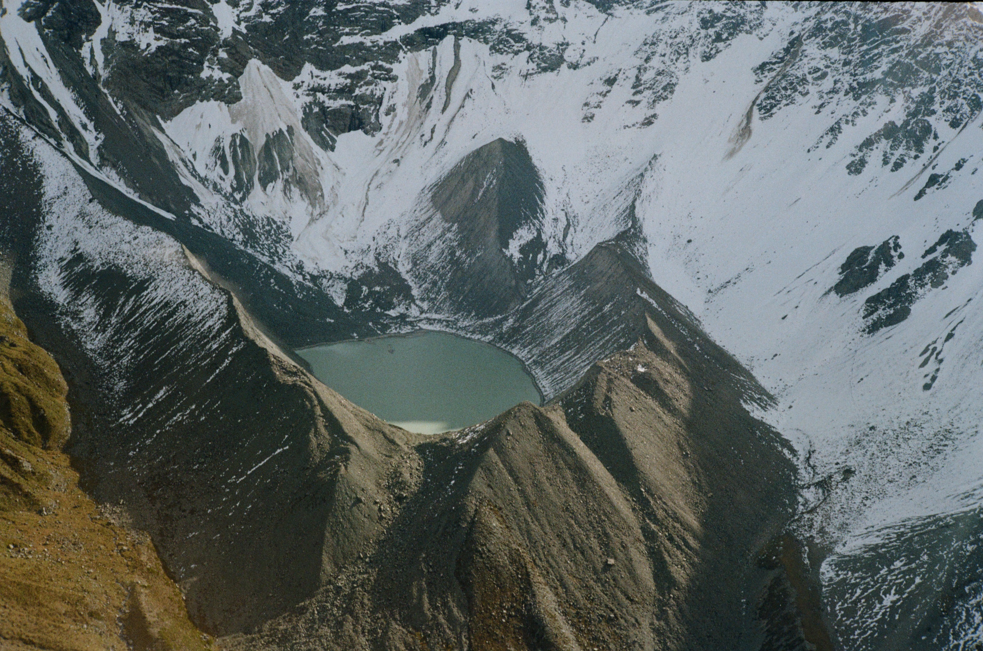
Glacial tarn near Rankin Pass.
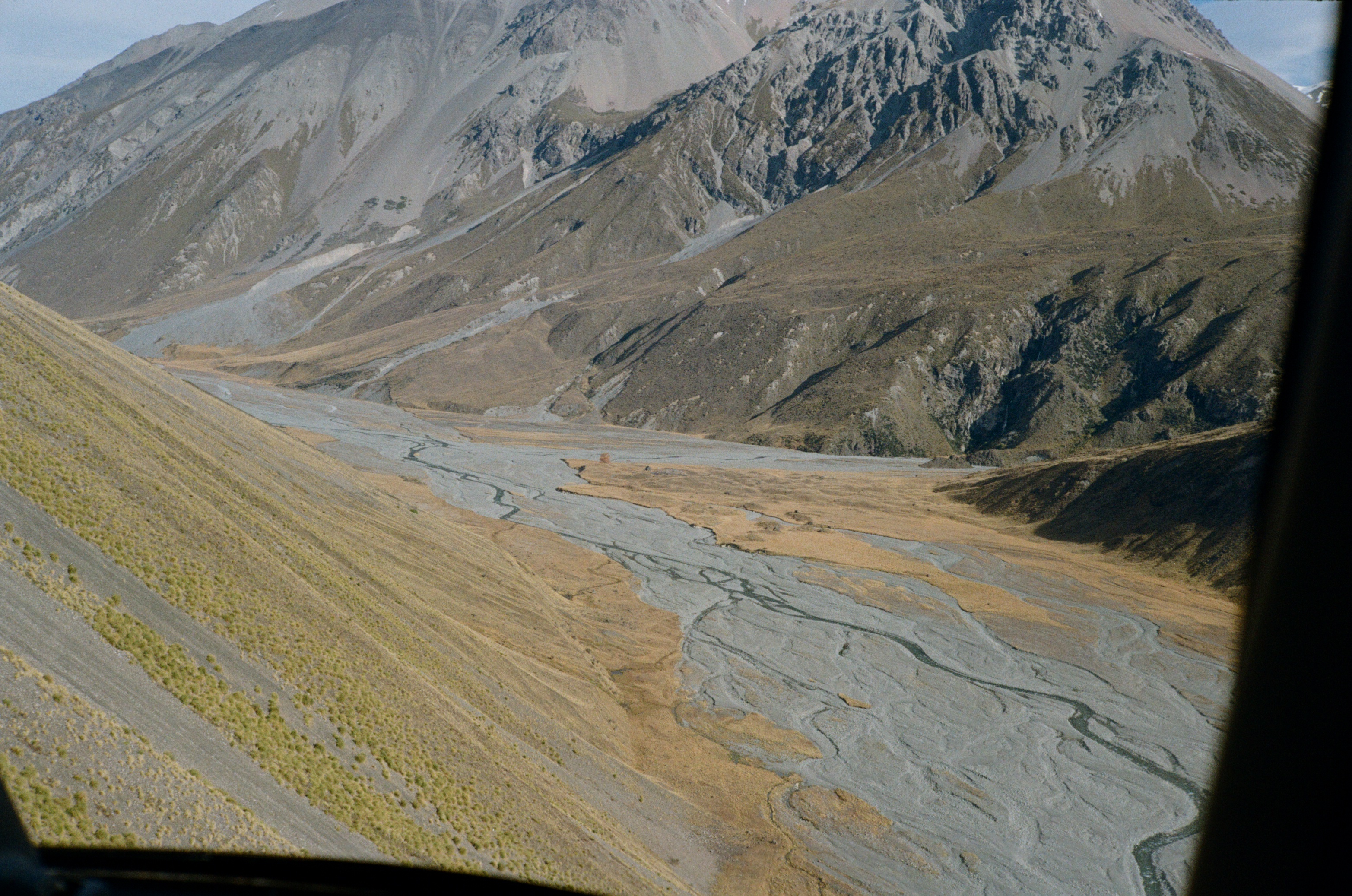
Cass Valley with Memorial Hut in the middle of the photo.
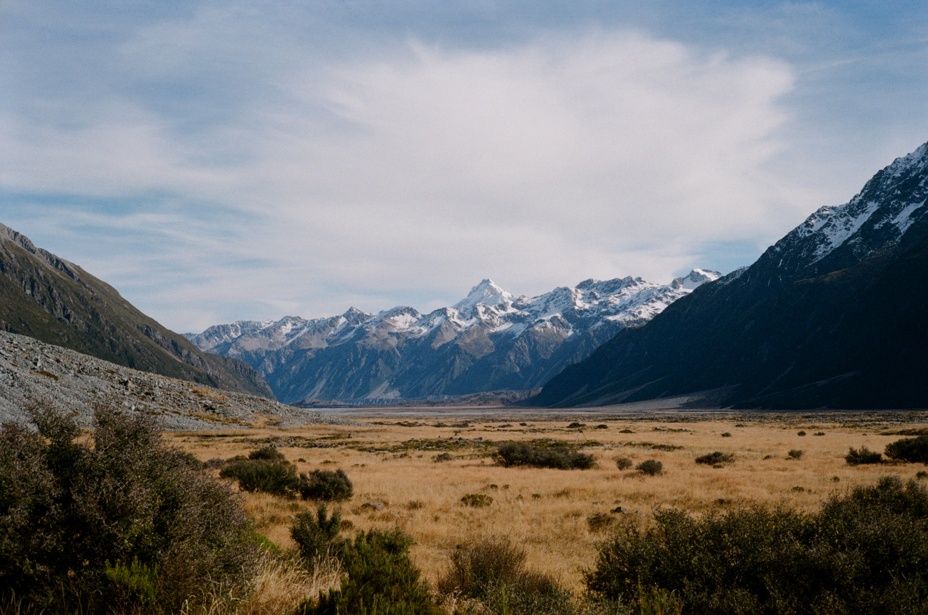
Murchison Valley facing towards the southwest.
Photos were captured with a Canon Canonet QL19
This project is funded by the Australian Government (NCRIS) through the AuScope Program. Instruments are loaned from ANSIR: a partnership of universities and public agencies in Australia and New Zealand supporting geophysics research across Australasia. For more information about these programs, visit: ANSIR's website.